
Beauty Everywhere...
- nwriversphotograph
- Apr 5, 2024
- 4 min read


Sunrise on the Panamint Range & Lake Manley. Death Valley, CA.
One of the real advantages of living here in the United States, and especially in the western states, is that we are surrounded by such beautiful and wonderful landscapes and natural areas. There are sixty-three National Parks, with forty-two of those in the west, not including National Monuments, National Wildlife Refuges, State and local parks, and private natural areas. Each of these, with varying degrees of difficulty, are open and accessible to all.

Mesquite Flats Sand Dunes, Death Valley, CA.
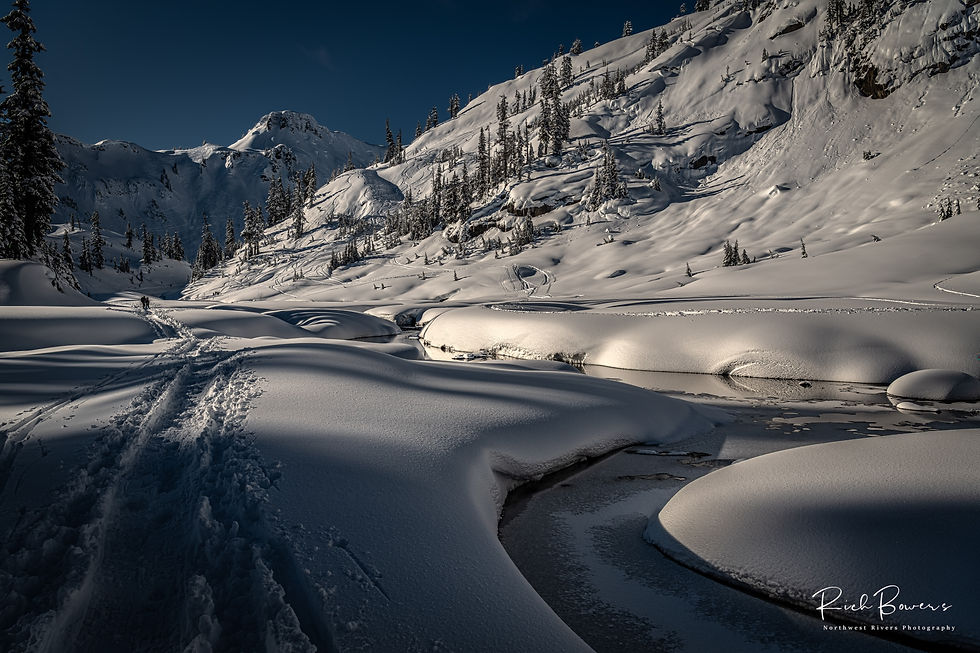
If you follow my work, you know I think the Pacific Northwest (PNW) is absolutely the best place to live, work, visit, and photograph. But it is still good to get away, to enjoy new places and to find fresh vision, patterns, light, and to revive, expand and supercharge both your imagination and your soul.
With this in mind, my wife Stephanie and I headed off on a road trip south. The goal was to join good friends and to photograph Lake Manly in California’s Death Valley National Park. But honestly, we were just looking for an excuse to go back to Death Valley, one of our favorite parks. For Stephanie, the shades and patterns in the brown rocks and landscapes make it special. For me, it is the vastness, the ability to seemingly look forever to the far mountains, sand dunes, and horizon lines. In many ways, it reminds me of the Yukon Territories, especially north of the Tatshenshini and Alsek regions, where you crest over any hill to see the highway (and mountains and hills) unfolding for incredible distances.

Up Valley View! Death Valley, CA.
A twist, a turn, and you are there! More realistically, nineteen hours of driving later, constantly moving east to avoid the deep snow falling in California’s Pacific Crest Mountains. But, as always, the adventure lies as much in the trip as with the destination.

Lake Manley Sunrise, Death Valley, CA.
All along our route to California, and back through Utah and Idaho, we were constantly aware and in awe of the many transitions we traveled through. Leaving Whatcom County with snow on the ground, then transitioning to fields of morning sunlight in Skagit County and then bright sun in the Seattle area. Across the Cascade Range and then a right turn south into the brown basalt columns of the Yakima Valley, with snow glistening on Mount Adams and Mount Rainier in the distance. Another right turn and across Oregon’s high four- and five-thousand-foot snow covered passes of the Wallowa Mountains. Fields of color, eagles, and northern harriers everywhere. Following the turquoise waters of the John Day River. After our time in Death Valley, watching wispy creamsicle orange and white clouds, red rocks, and blue sky in southern Utah. White, snow blasted landscapes at nine thousand feet as we crossed at Cedar Breaks, and powdered sugar snow on each side all the way north to Salt Lake City and on to Boise. Transitions, time zones, and beauty everywhere!

Dunes! Death Valley, CA.
Thousands of years ago, Lake Manly was some seven hundred feet deep and covered a good portion of Death Valley. More recently, it is a pluvial saltwater lake that accumulates in Badwater Basin because of greater precipitation. The lake reformed after Hurricane Hilary’s historic rainfall in fall 2023 and the atmospheric river event this past February. Death Valley is usually the driest, hottest, and lowest point in the United States at two hundred and eighty-two feet below sea level (snow has been recorded at low elevations in Death Valley only four times since 1900). Before this, the last sighting of water in Lake Manly was in 2005, so this was a special opportunity to witness this rare happening.

Lake Manley Overview! Death Valley, CA.
In addition to the lake, there were daily phenomenal sunrise and sunset reflections of the western mountains and Telescope Peak at Badwater, at over eleven-thousand feet the highest peak in the Panamint Range. First light along the shore of the temporary lake, carefully situated among the salt crystals -- light, depth, reflection, beauty -- all captured in one place and in a single moment. A few minutes to the north, we were standing among the Mesquite Flat Sand Dunes with their crescent, linear and star shaped dunes. We had stunning views from Zabriskie Point and Dantes View. After all of this, wonderful naps in our campground basking in the sun and temperatures in the mid to upper seventies (memories and suntans to sustain us back here in the PNW).
Beauty, light and transitions at all elevations, a trip worth taking.
Endnotes:
· This posting often talks about the need for additional public access and for natural resource management and maintenance funding, and right now there are a number of national legislative bills to provide improvements for recreation and public access. All deal with the recent increase with outdoor recreation participation, insufficient agency staffing and resources to meet this demand, technology updates (greatly needed) and how those funds are distributed and prioritized. Examples include: H.R. 1527, “Simplifying Outdoor Access for Recreation (SOAR) Act” (H.R. 1576), and “Expanding Public Lands Outdoor Recreation Experiences (EXPLORE) Act” (H.R. 6492).
· If you live in the PNW, Whatcom Museum in downtown Bellingham exhibits National Geographic’s, Greatest Wildlife Photographs. The exhibit is here until September 8, 2024, and it is the only place to see these larger-than-life images in the Pacific Northwest.


Comments